Sources & method. Narrative and dates follow The Cambridge Ancient History, 1st ed., Vol. IX, The Roman Republic, 133–44 B.C., and its second-edition successor volume, with the public-domain document reader of Naphtali Lewis & Meyer Reinhold, Roman Civilization: Selected Readings, Vol. I. No modern copyrighted prose is reproduced. Quotations are taken only from public-domain translations: Plutarch (Dryden / Clough), Sallust (J. S. Watson), Cicero (C. D. Yonge), Caesar (McDevitte & Bohn), and Suetonius (A. Thomson). No quotation is invented; casualty figures and famous last words are given as the claims of their ancient sources, not as established fact.
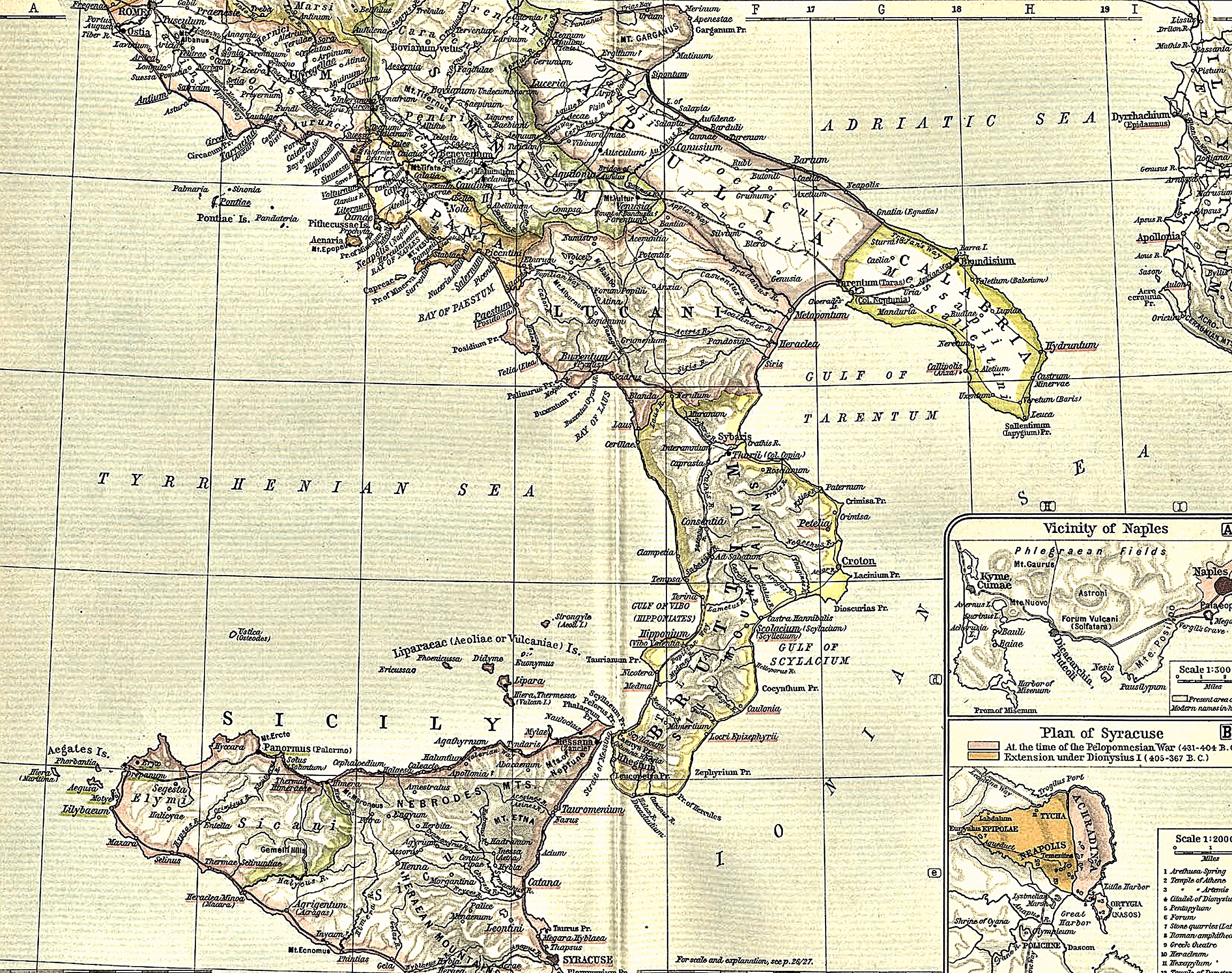
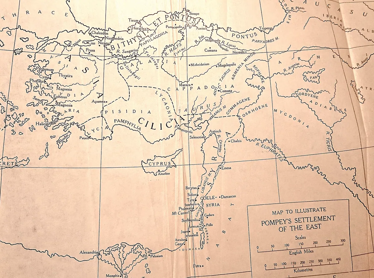
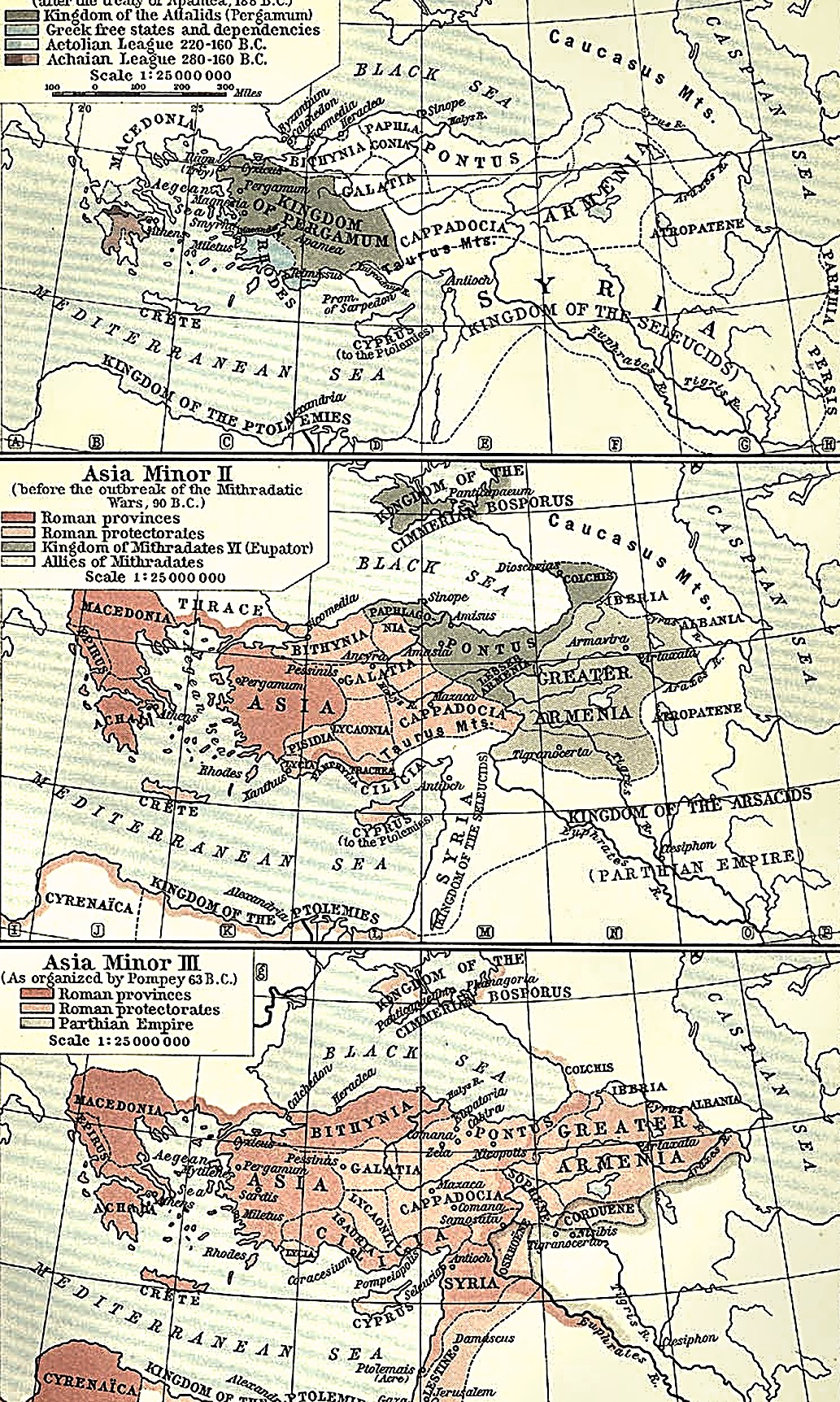
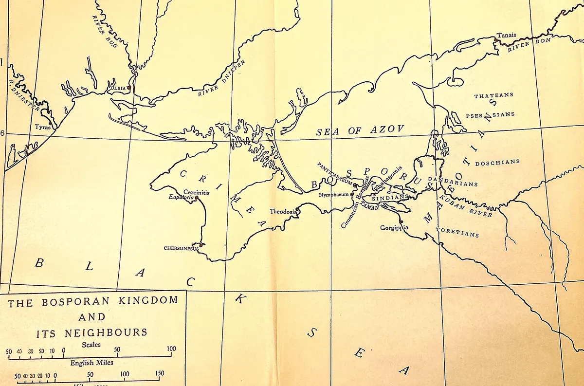
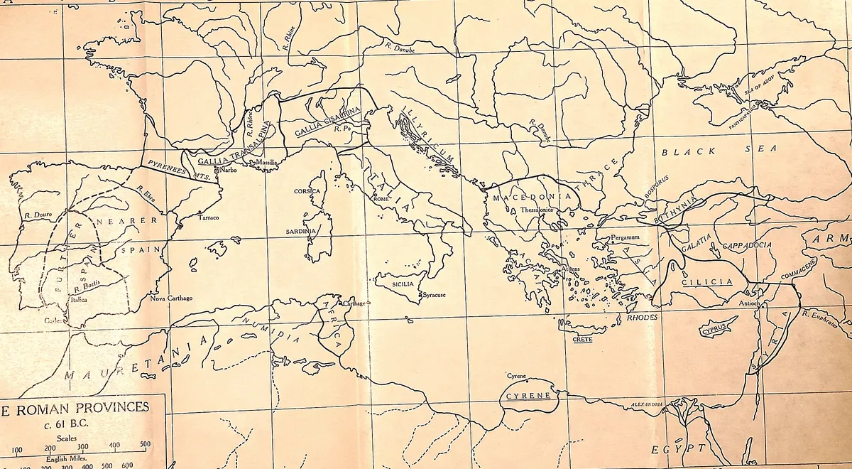
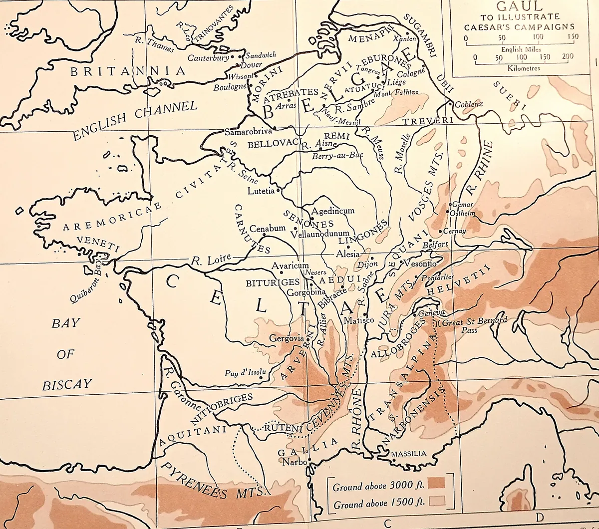
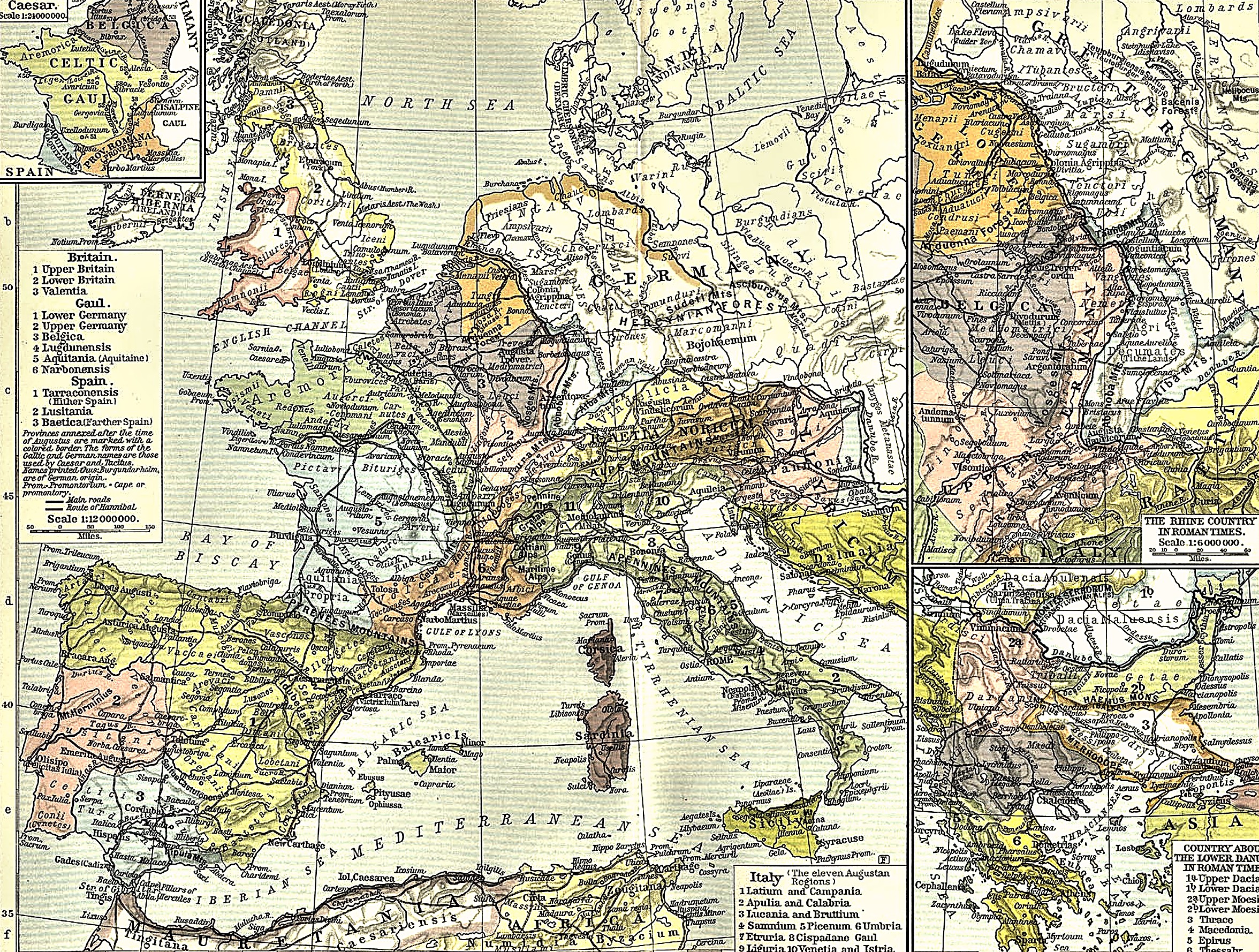
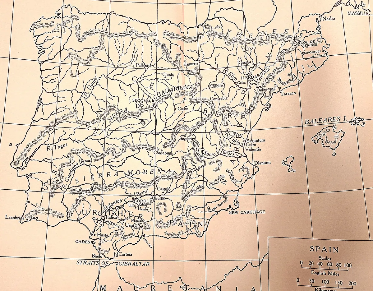
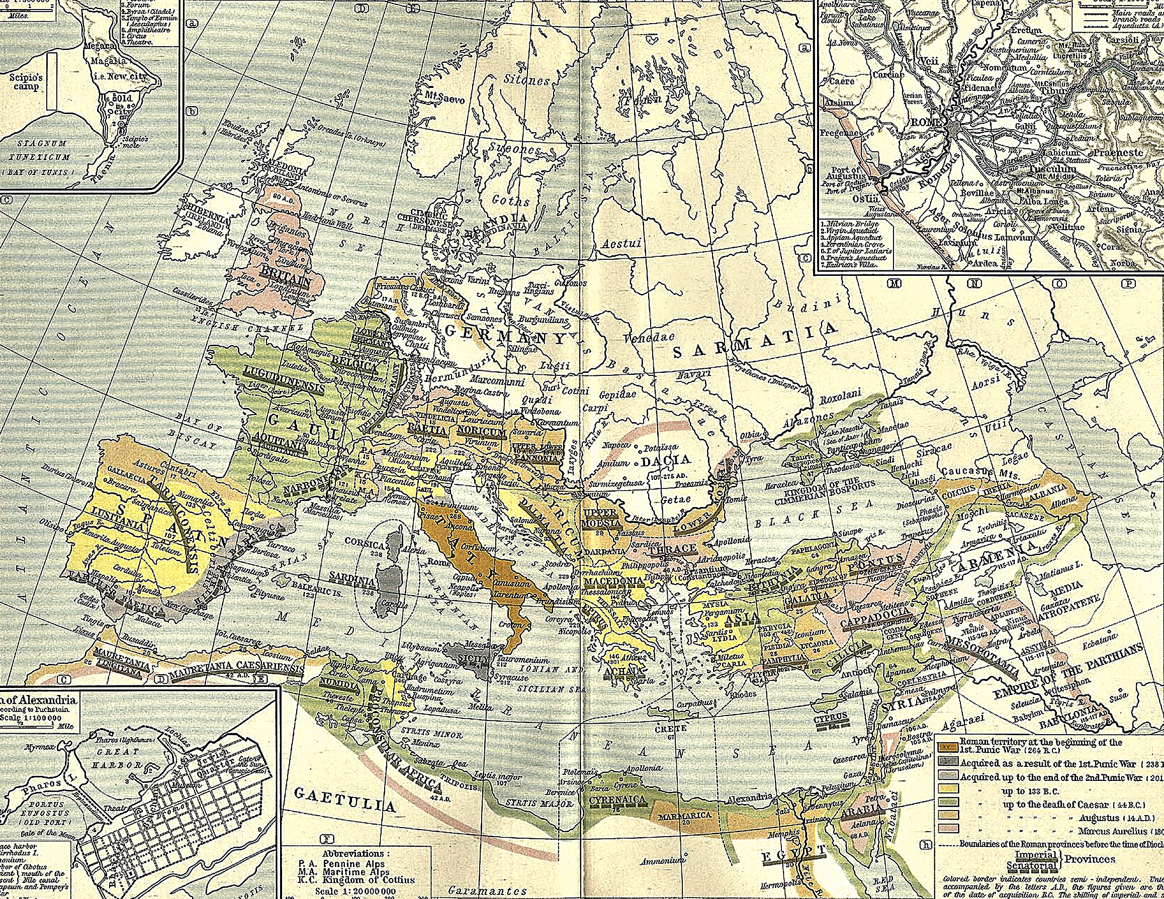
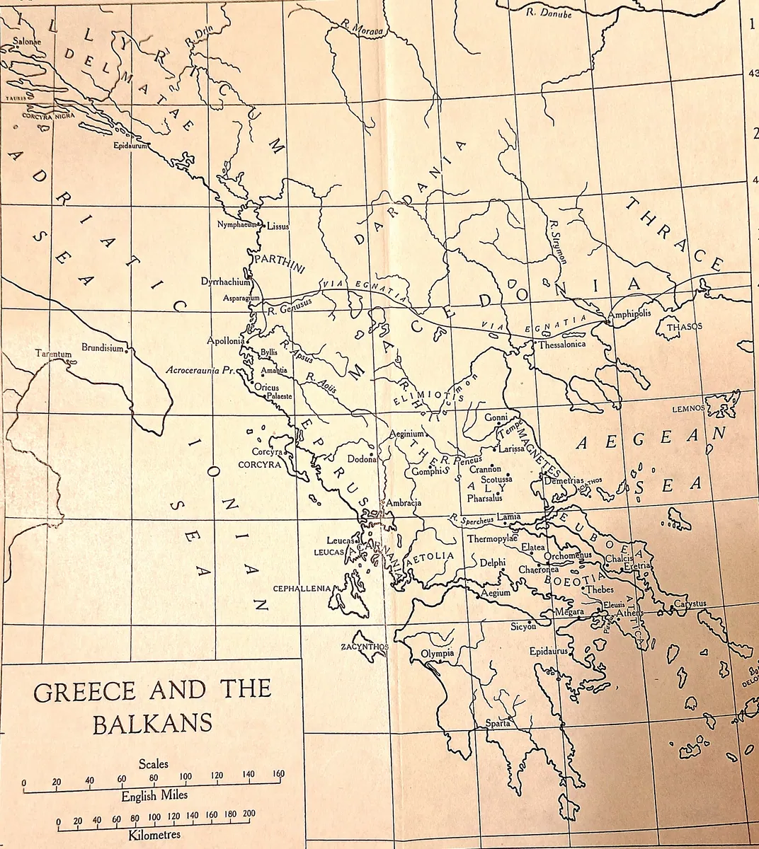
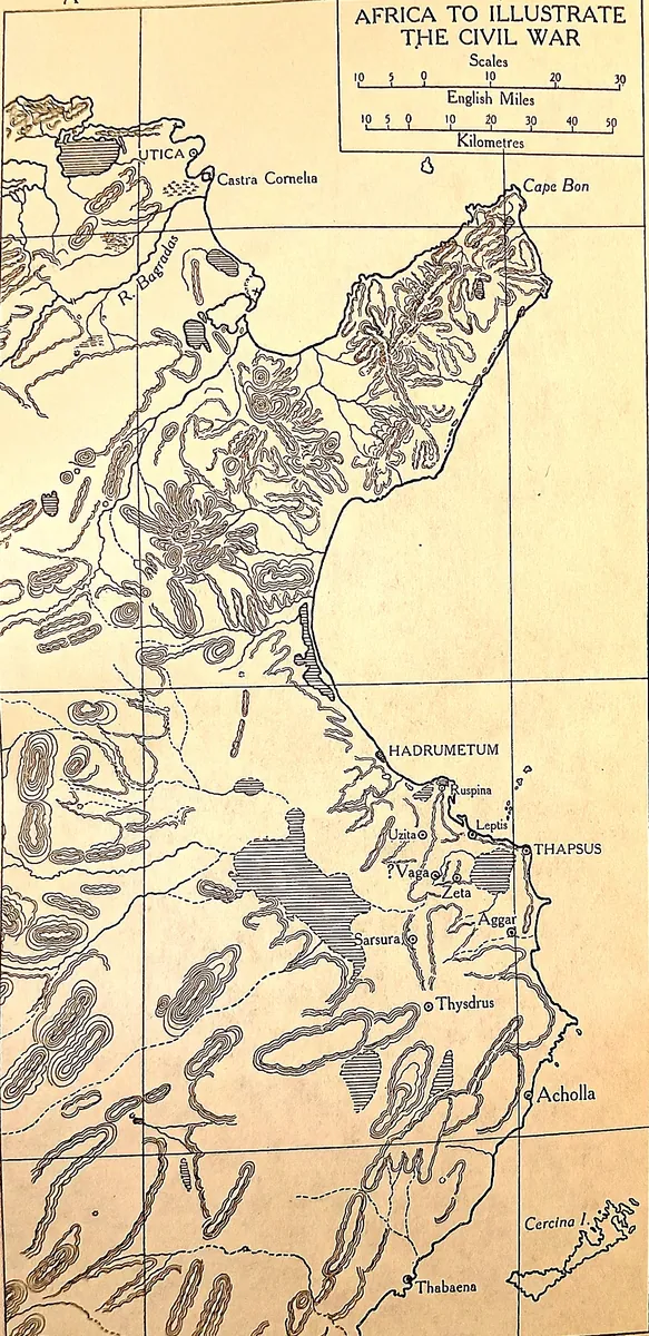
Maps. The Shepherd plates are redrawn (“warm” treatment) from William R. Shepherd, Historical Atlas (1911), in the public domain — scans courtesy of the University of Texas Perry-Castañeda Library Map Collection. The Gaul campaign map is drawn for this chapter from public-domain Natural Earth 50m coastline and river data; its coastlines and rivers are real geography, while the Provincia, sites, and campaign routes are overlaid from the narrative of Caesar’s Gallic War and are schematic, not surveyed boundaries.
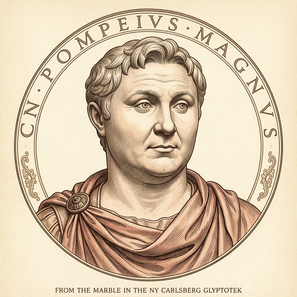
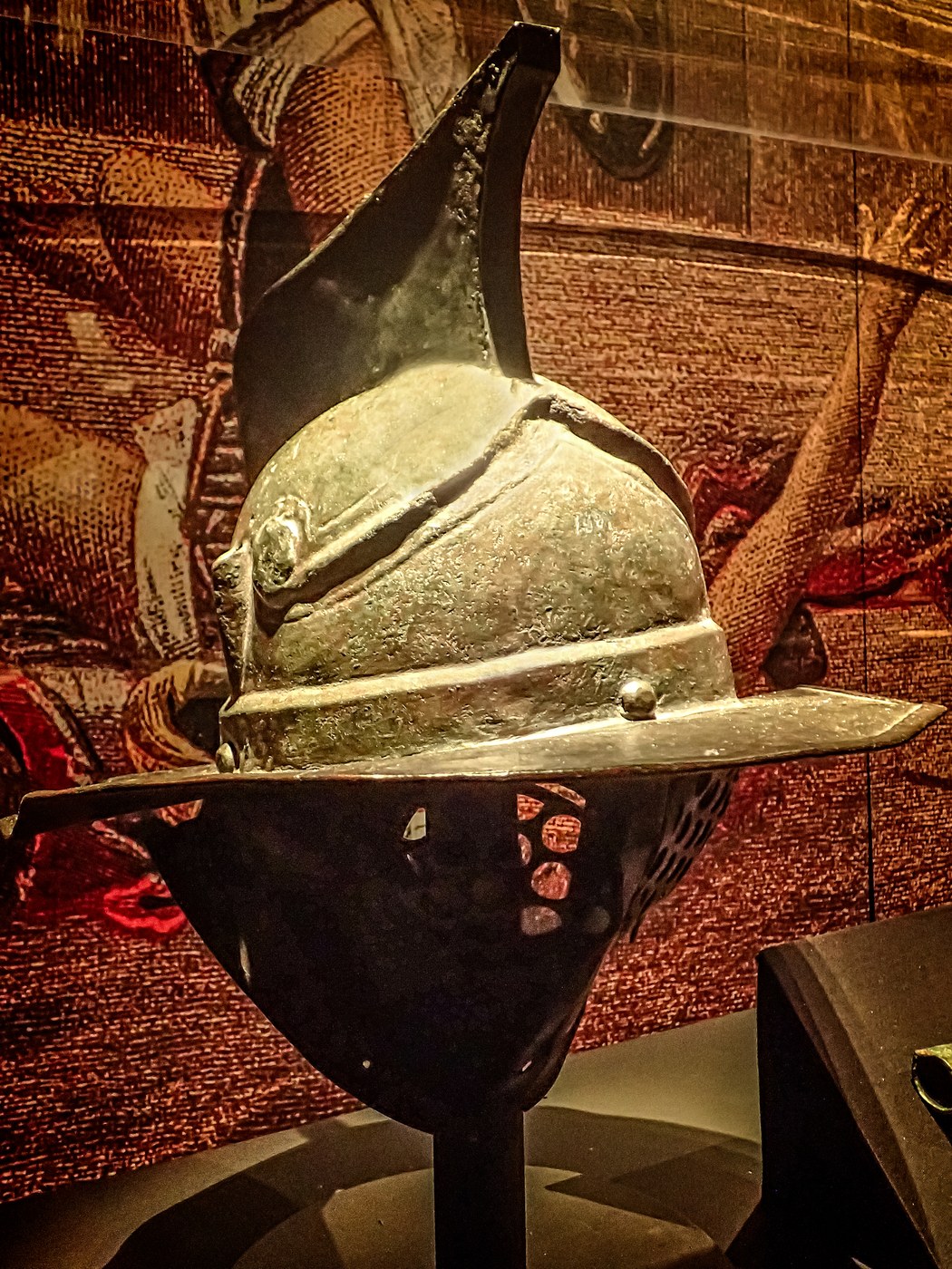
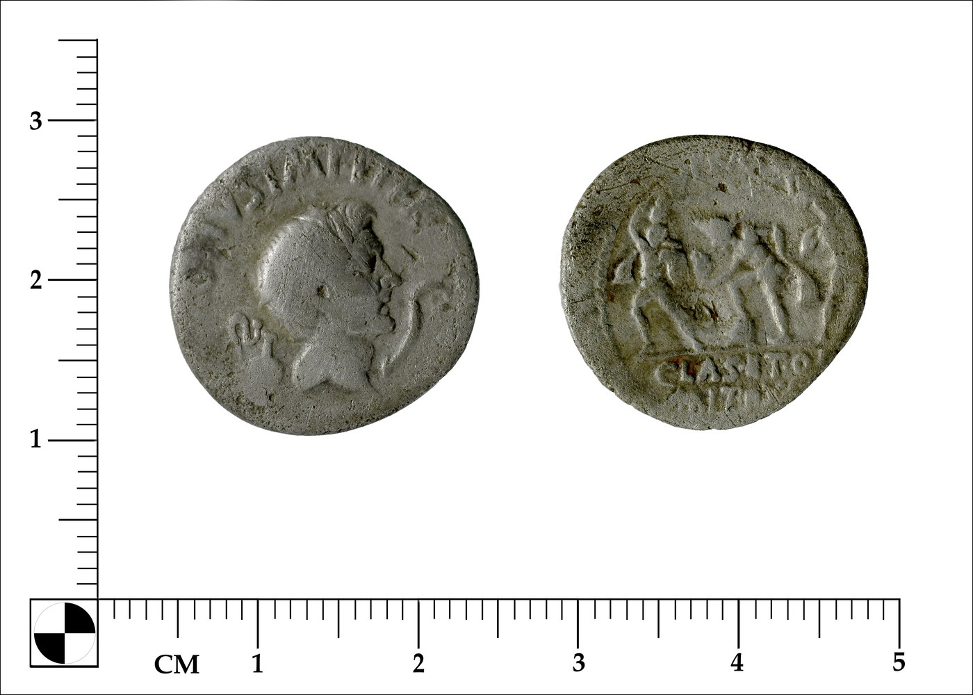
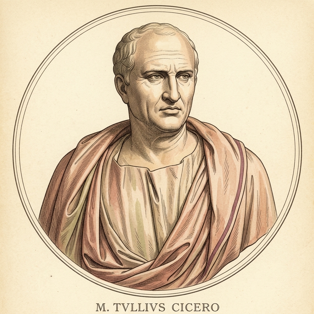
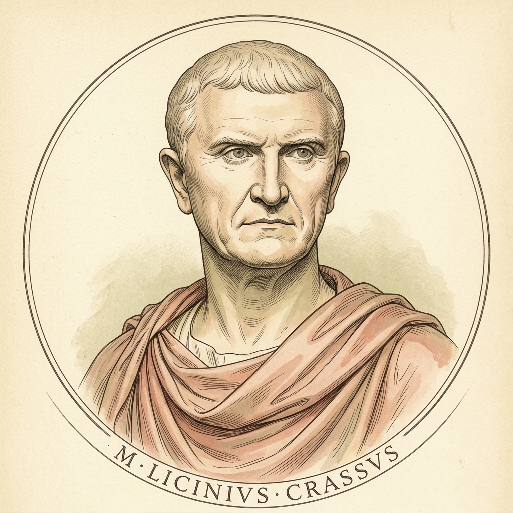
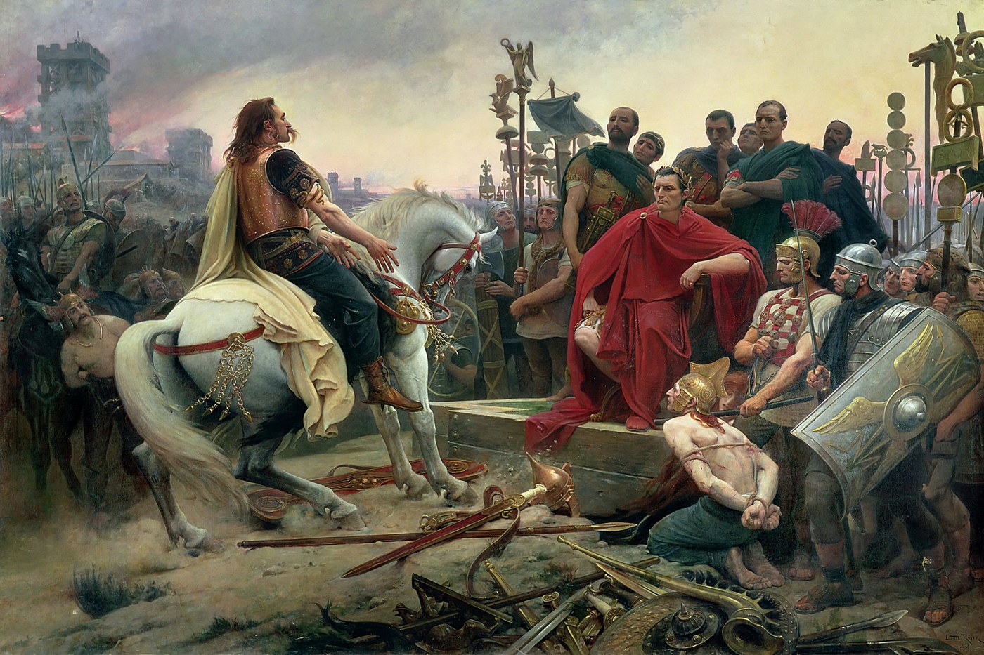
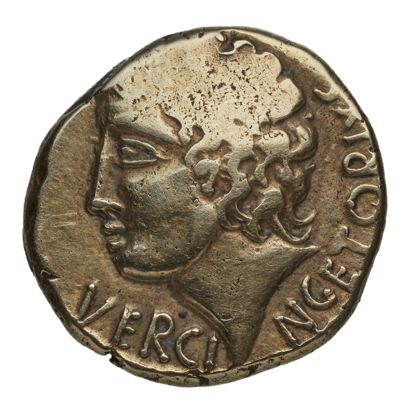
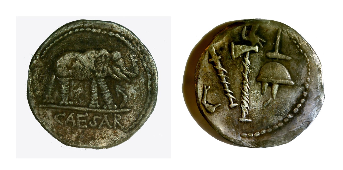
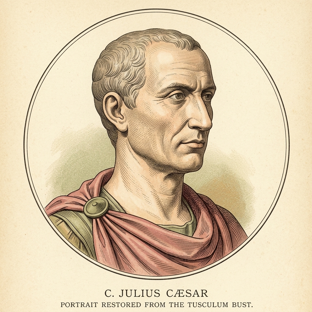
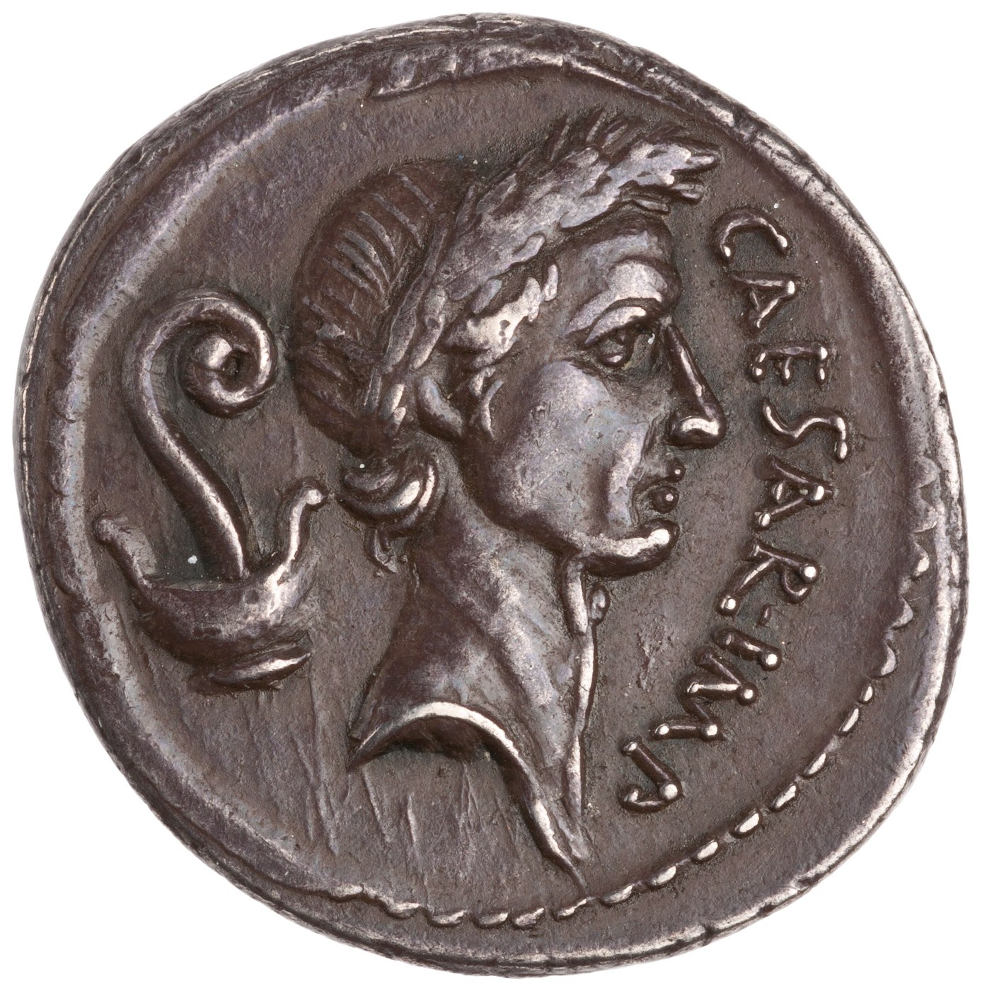
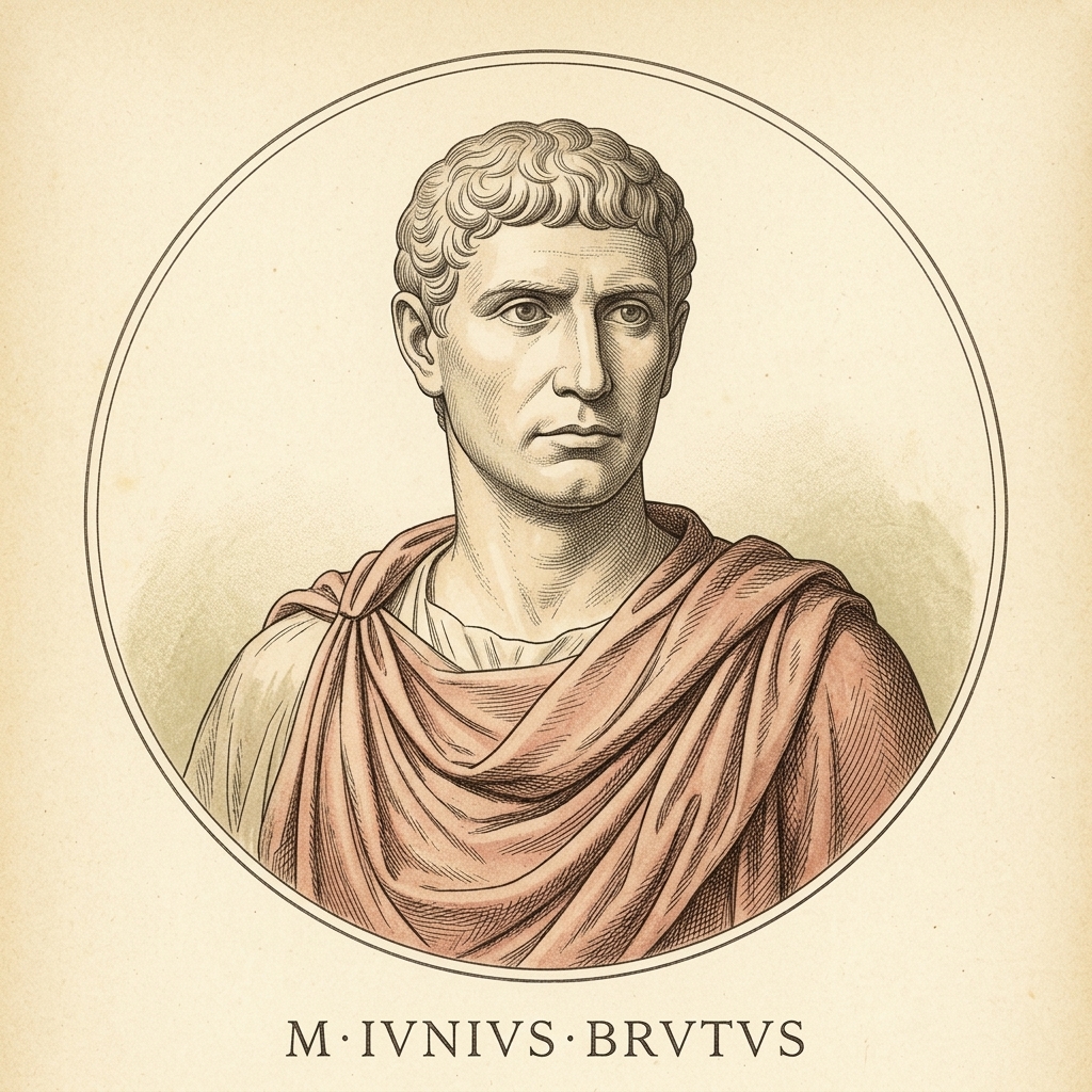
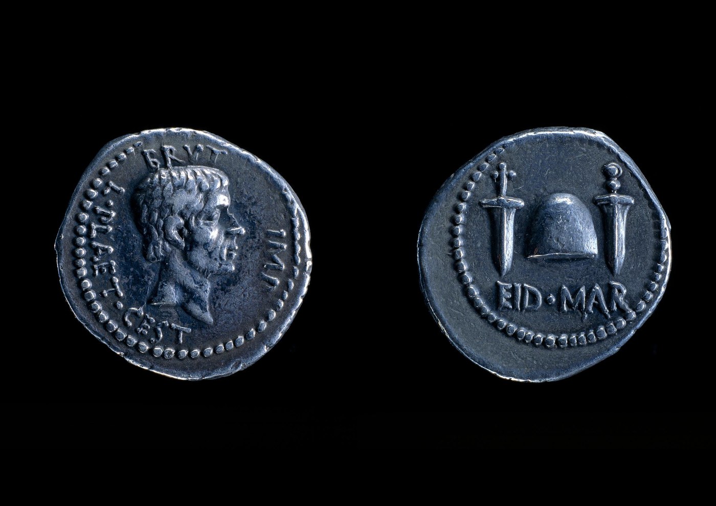
Portraits & Archaeology. Portraits are direct photographs of authentic ancient marble and bronze busts (Ny Carlsberg Glyptotek, Musée du Louvre, Musei Capitolini, Museo di Antichità Turin, Museo Nazionale Romano), warmed to match the page; click any portrait or plate to examine the museum source. Coins, the Pompeii helmet, and the Vercingetorix stater are authentic objects from the British Museum, the Bibliothèque nationale de France, and MANN Naples. The surrender of Vercingetorix is shown as a labelled nineteenth-century history painting, not a documentary record.
Ages of the World · an illustrated history · Chapter II